
Felt
Collaborative maps you can build and share with a click
Launched 55 months agofelt.com
Do you work on Felt?
This listing is unclaimed. Claim it for free to edit the details, add screenshots and reply to reviews.
 1 / 5
About Felt
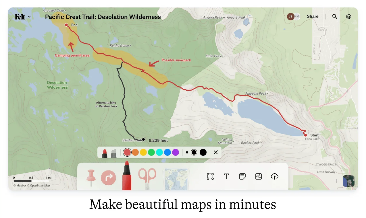
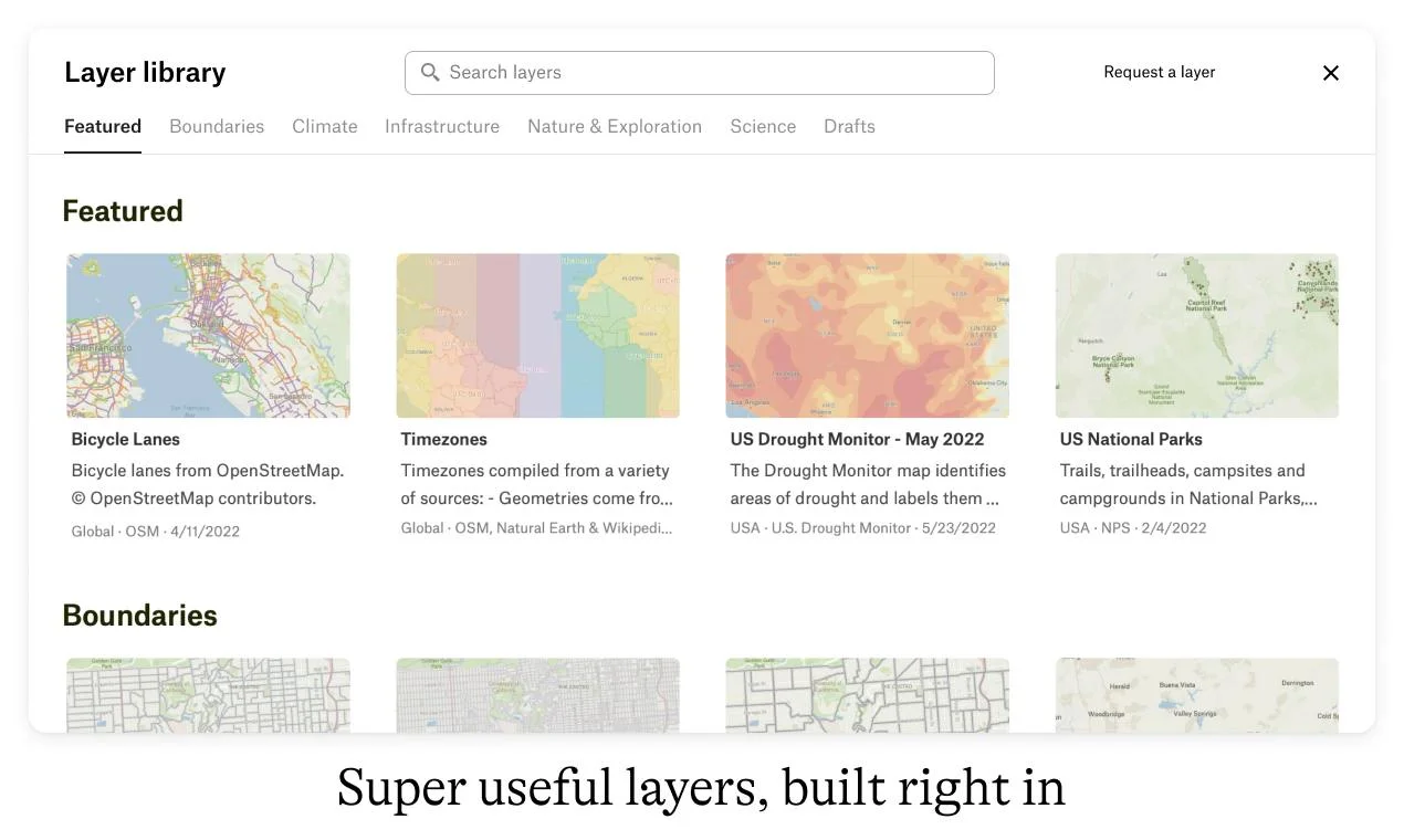
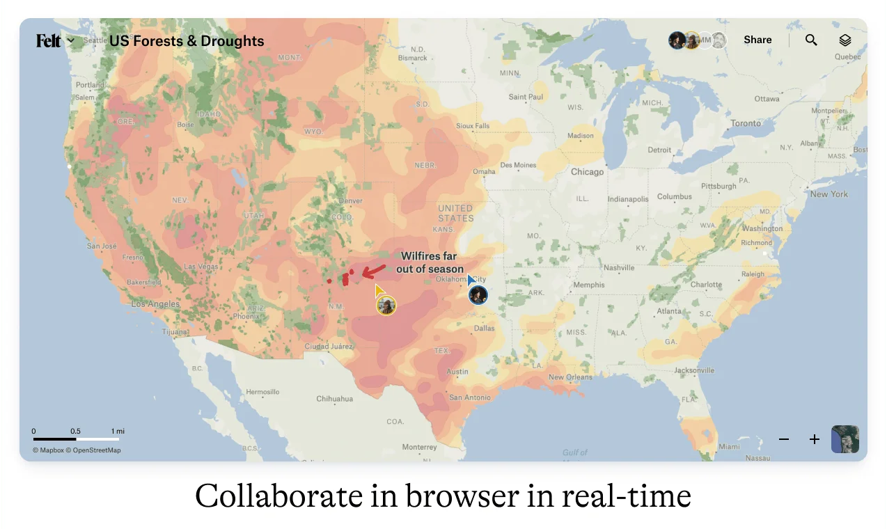
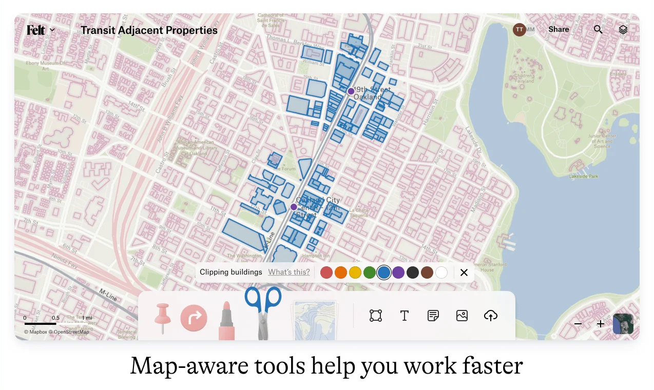
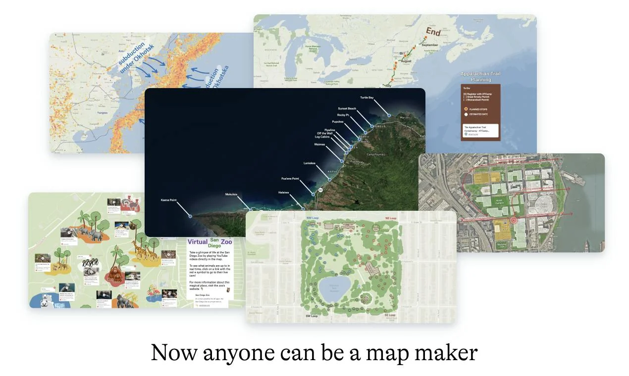
Felt is an online mapping tool that lets people create and share maps without GIS training. Users bring in data, such as spreadsheets and geospatial files, draw on the map and share a link for others to view or edit. It works for team projects, planning field work or showing changes such as climate impacts. Industries that rely on maps to get work done, including utilities and planning, use it in place of heavy desktop GIS software. A free plan is offered.
Reviews
From people who have used it. One review per person, checked by a human.
No reviews yet. Be the first to say something useful.